Planning a Ridgeway walk

Ridgway path sign
One of the only photos from my brief Ridgeway foray 2 years ago.. MANY more photos to be taken next time 🙂

Two years ago I spent a couple of days in my old home town of Wendover (or as near a home town as I had I guess – with a Dad in the Air Force). One of the things we did as kids was play out in the beautiful Chiltern forest that flanked Wendover and also the RAF camp of Halton. Where we lived in something like 14 different houses over years of being posted back and forth! And we used to walk the woods with my Dad and the two dogs on a sunday. I love the moors and hills of Marsden and I’ve spent half my life (yikes) here now but I do miss those ancient woodlands.
read more >

A Roman Road circular hike .. the oxymoronic post

Pack Horse Trail marker Marsden Moor

Roman roads are (mostly) ‘straight’ (that’s probably not true but let’s go with received wisdom) but I used Viewranger last week to create a circular trip on the moors around Marsden. Since I found out a roman road passed through my village, I’ve been intrigued to find out more and to walk as much of it as modern boundaries allow.

The hike route I ‘created’ navigates (on the southern, home leg) part of a Roman road that once ferried troops between York and Chester and takes in the remains of a fort at Castleshaw (two forts actually, they downsized to a smaller one in the later empty-nester years of the Empire).

read more >

Snowdon In the Snow 2013

Joe on the path up towards Cwm Glas Bach

About this time last week I was two thirds towards the summit of Snowdon (just above the railway bridge and with the cliffs of Cwm Glas Bach on my left as I looked up hill to Clogwyn Coch). And that’s as far as I got. Standing with son Joe and a couple of other mates (from a much larger group strung out above and below us on Llanberis path), I was ho-humming about completing the final section to the top. Some time with Joe and a cup of tea back at the Pen Ceunant Tea House won out. Down through the snow storm (and then sleet) we headed. More of that later, I’m getting ahead of myself…

read more >

A snowy slog on Swellands – Marsden Moor

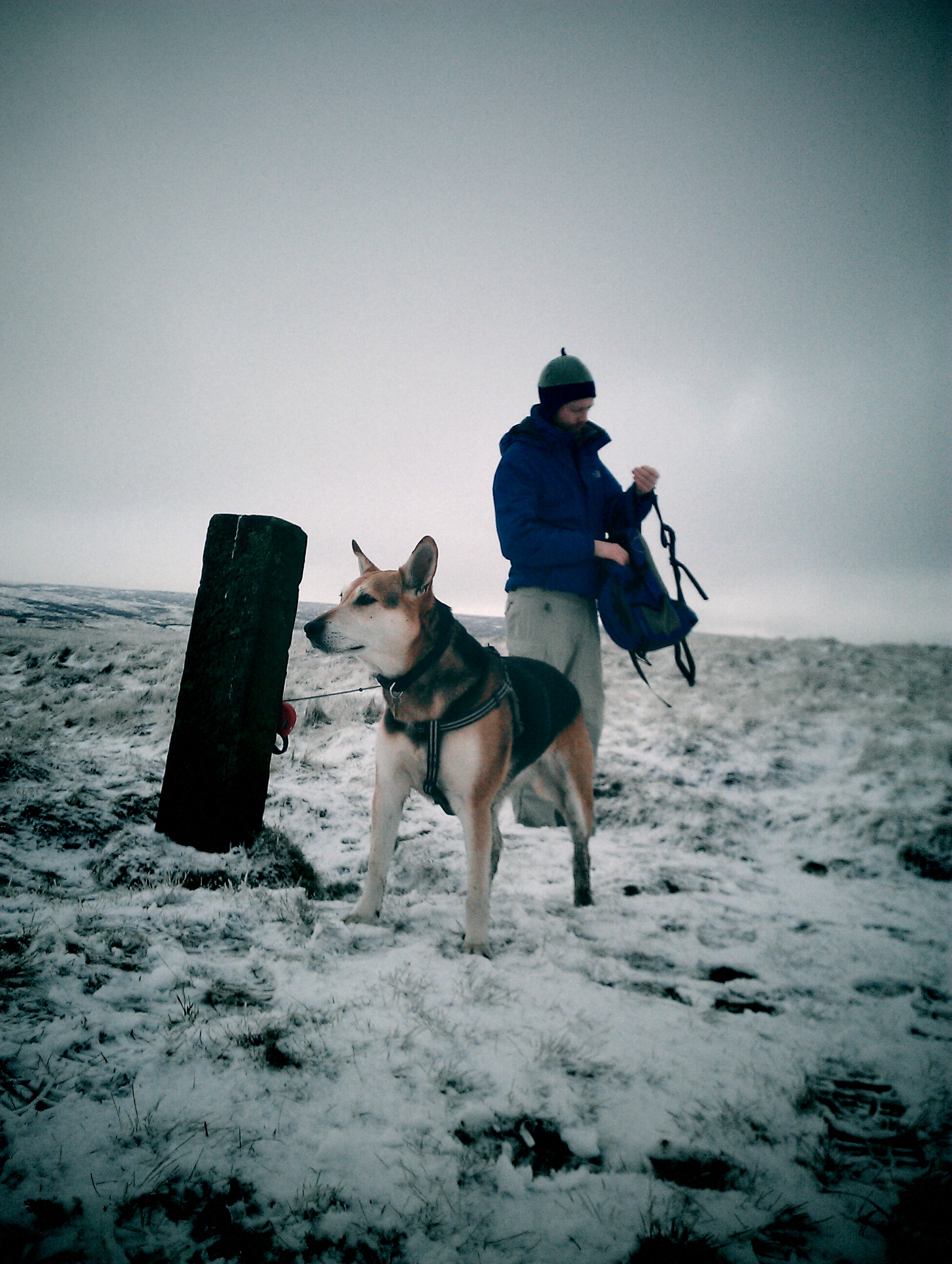
I’ve had a few shortish walks on the hills and moors over the past few weeks but nothing that could really be called a ‘proper’ walk / hike. And the annual ‘Snowdon in the Snow‘ date looms so I wanted to get some leg-stretching in. The recent snowy conditions were perfect timing for myself and son Joe to hit the hills 🙂

We basically took the same route as my last post – up the Wessenden Valley in Marsden and onto the Swellands area (home of two adjoining reservoirs) and describing a big loop back down in to Marsden. But what a difference the snow made.. it took us an hour or two longer than last time and was pretty tough going in parts. Both of us had ice spikes on which made a big difference in places!

read more >

Swellands hike – checking a Walkers Are Welcome new route

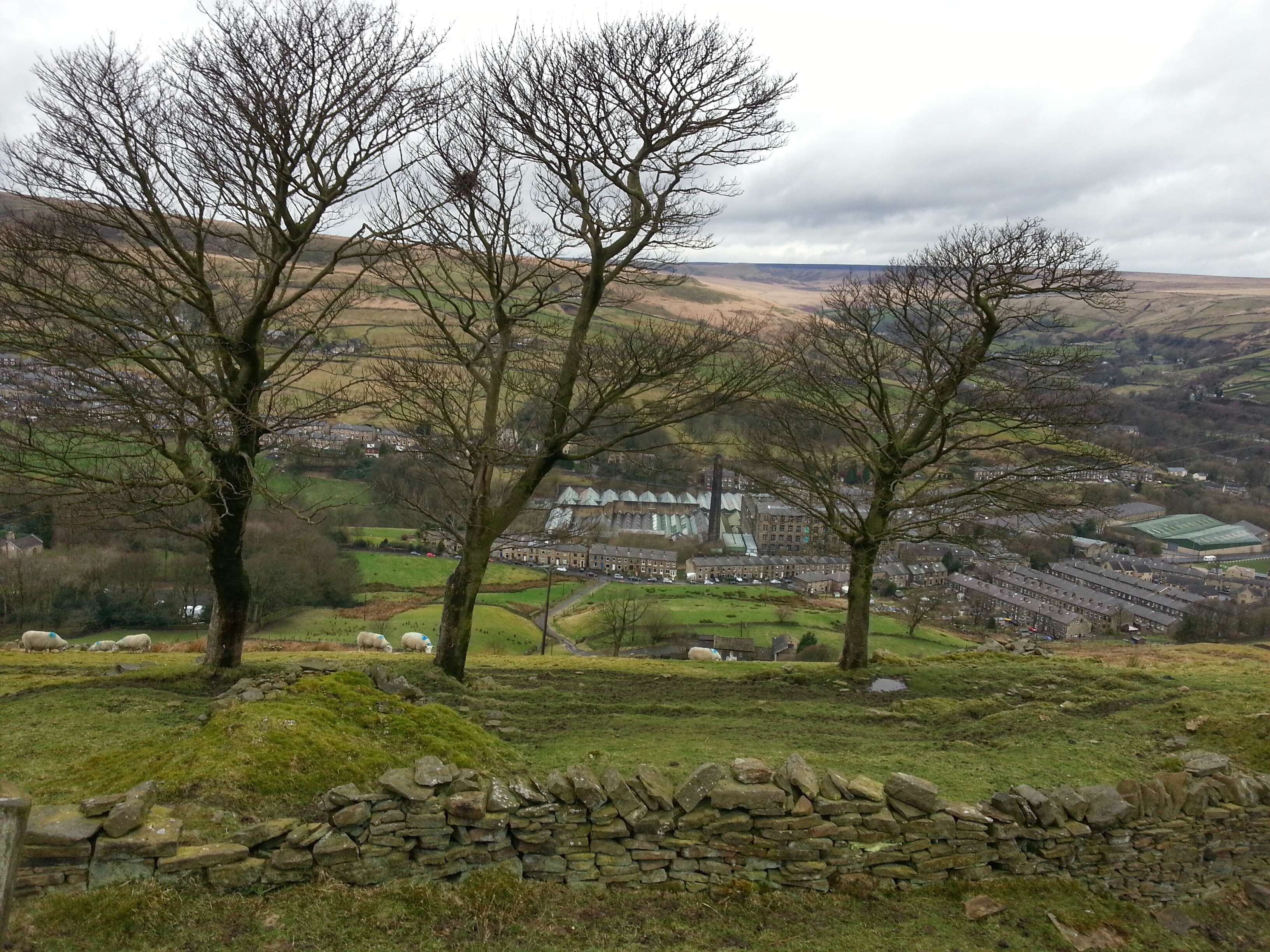
Colne Valley Circular Walk Hike Marsden Moors

On Saturday I did the last of my route / map check walks for the soon to be published Marsden Walkers Are Welcome guides. Despite really strong winds on the exposed parts of the moors the weather was great. No actual rain, for the walk or indeed the whole day, amazing 🙂

The overview of the walk from the WaW site is : “This 6.5 mile walk will take you from the Marsden centre into the scenic Wessenden Valley, containing ancient woodlands and deep upland reservoirs, then onto sections of the Pennine Way and Standedge Trail close to the watershed and above Swellands Reservoir. This walk contains some sustained ascents, descents and rough terrain.”

read more >

Intake Head walk – some guide map checking

Time to walk off some more of those mince pies (I made them, pretty good as it happens), so Joe (Robin to my Fatman) and I headed out again this morning to walk one of a set of new routes marked out in some soon-to-be-printed leaflets. A while back I helped the Marsden Walkers Are Welcome group check rights of way /paths in one particular OS grid (as part of the national Walkers are Welcome initiative) and these new maps are part of that. I think there will be six in total initially. I volunteered to check two of the routes before the 9th Jan deadline (when I think they go to print) and report back any errors / confusing path descriptions etc. Today’s route was “Intake Head’. Next weekend I’ll be doing ‘Swellands’.

read more >