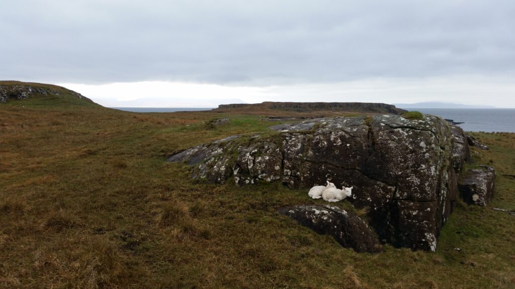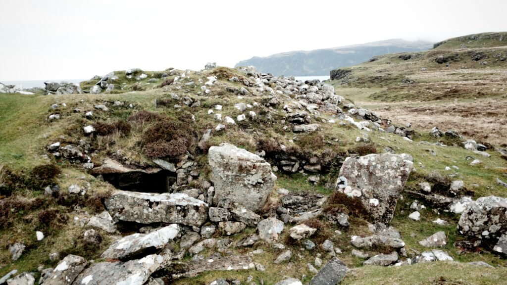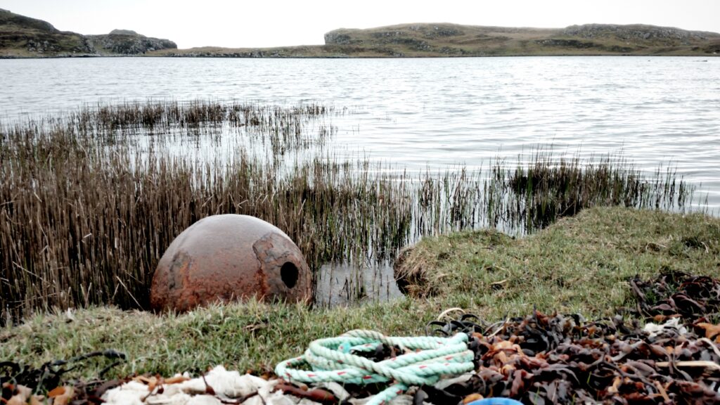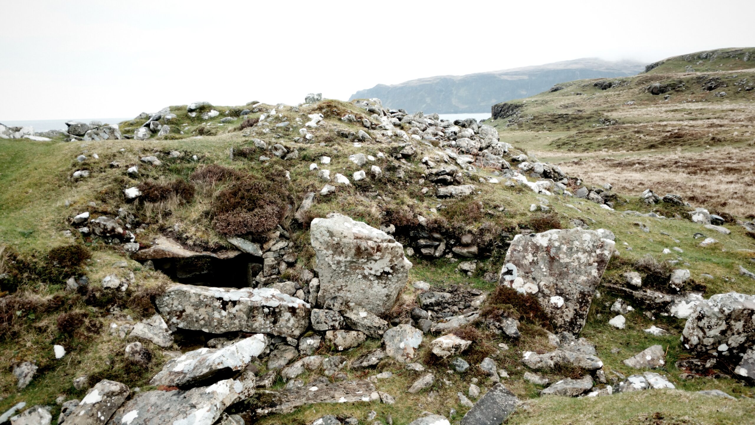
Day 2 of a dreich weekend on Skye (day 1 is here) saw me stay low on the coast and head towards a neolithic chambered cairn that had been spotted on the map. The cairn is situated at Rubh’ an Dunain (Point of the Dun) near the small freshwater loch of Loch Na H-Airde, itself connected to the sea by what is believed to be a late Viking tidal canal (or an early medieval canal and port complex).
I still felt a bit deflated by the climb the day before, we had spent a while looking for the correct route up to Coir’ a’ Ghrunnda and the one we chose was a bit too unclear and vertiginous for my liking, so I’d bailed out. And I felt I’d let the other guys down in doing so. So day 2 was time to settle myself with a bit of monument bothering at a lower contour.
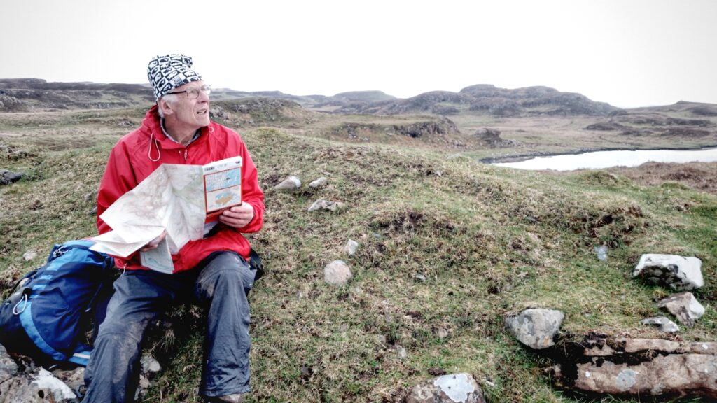
I headed out on my own but with the plan of Mac and Mark joining me at the cairn. The chance to mooch about solo was an appealing one. I’ve written before about how I appreciate these trips away with friends: a mix of social evenings, group walks but often with the chance for some time on my own to noodle at nature, sit in silence and take in the views.
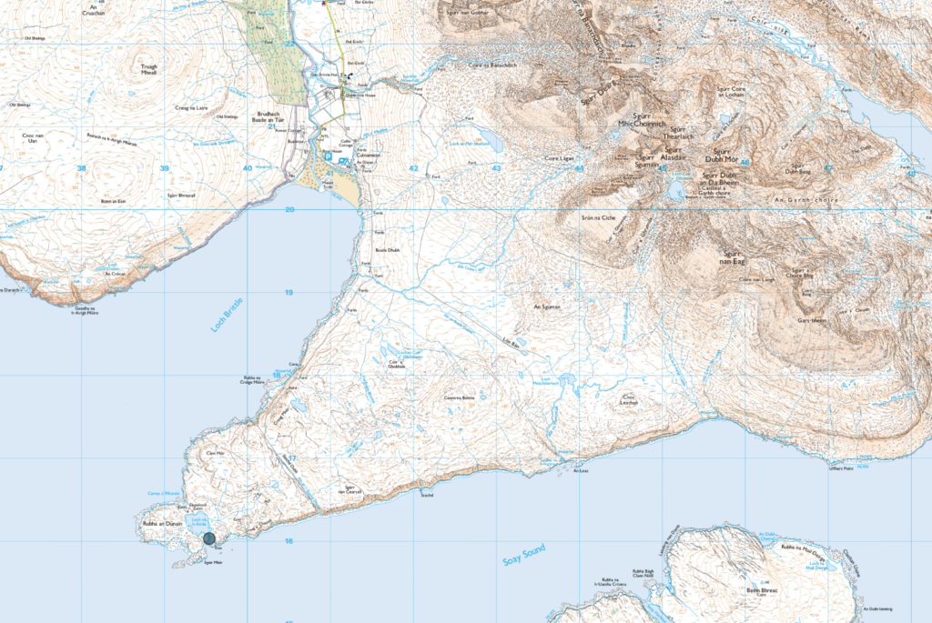
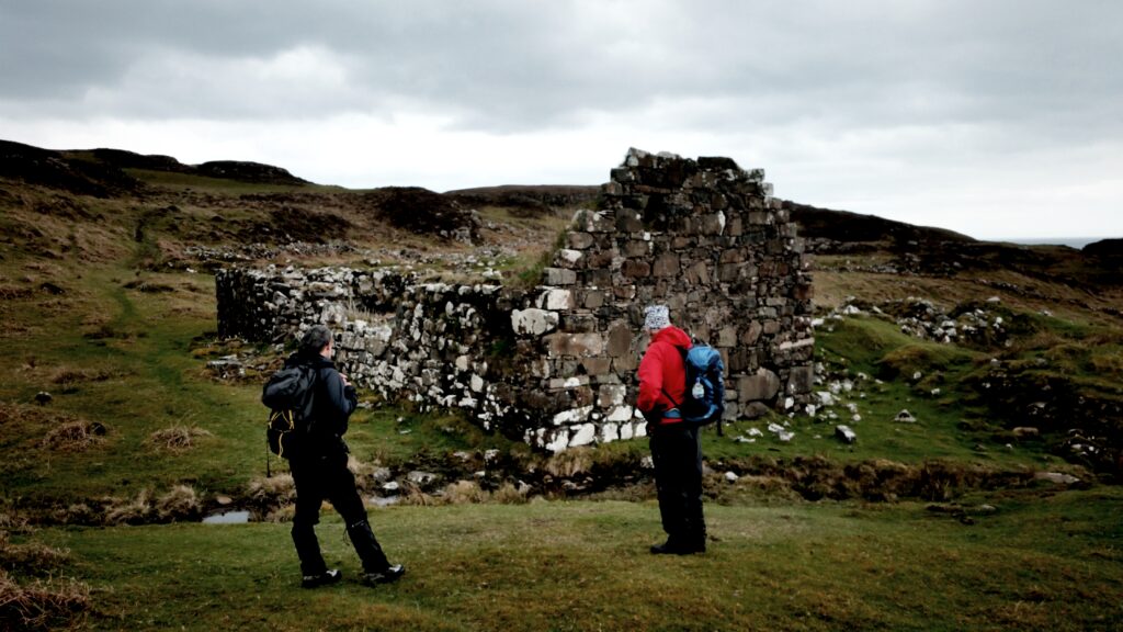
This part of Skye is particularly rich in history, from the neolithic chambered cairn to and Iron Age Dun and that Viking canal .. and on to later (although still old) croft settlements. I’ve enjoyed reading about British prehistory in the last few years and visited a few (but not as many as I’d like) locations, so to spend some time exploring this historic peninsula was a real bonus.
The whole walk was around 3.5 hours of walking with an extra hour or two for spending time at each of the structures – the cairn, the dun, the canal and the loch. Most of the walk is along a decent enough track but it was boggy in parts and I think that with wetter weather, some of the route that required stream crossing would have been tricker with the water in spate.