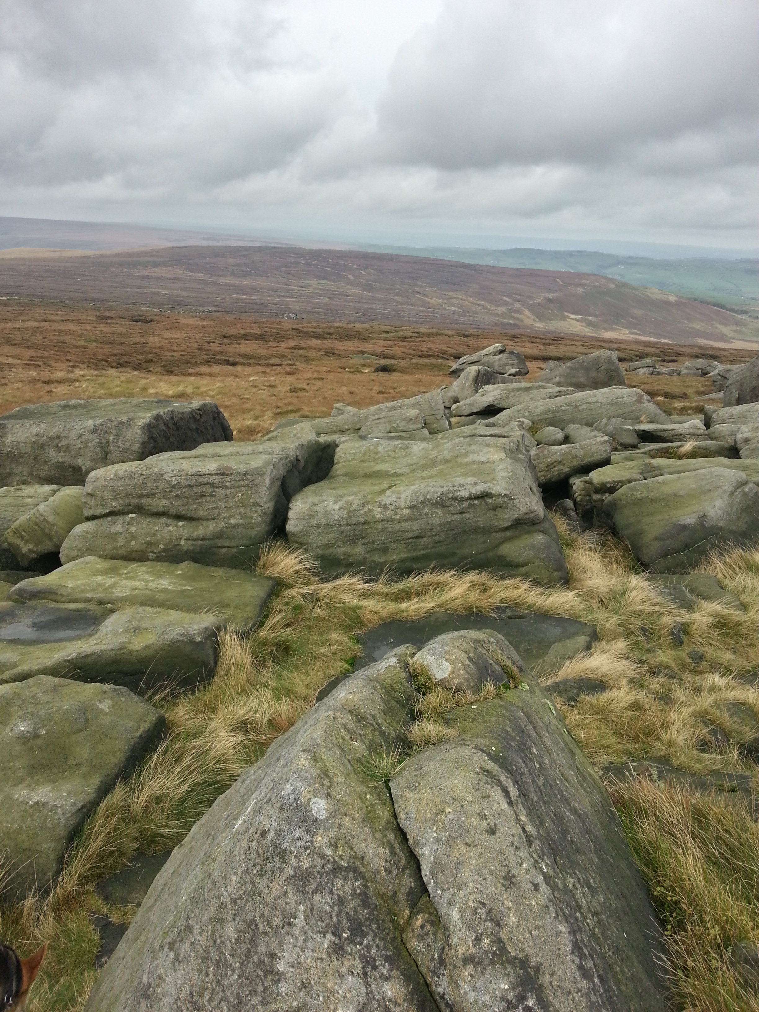
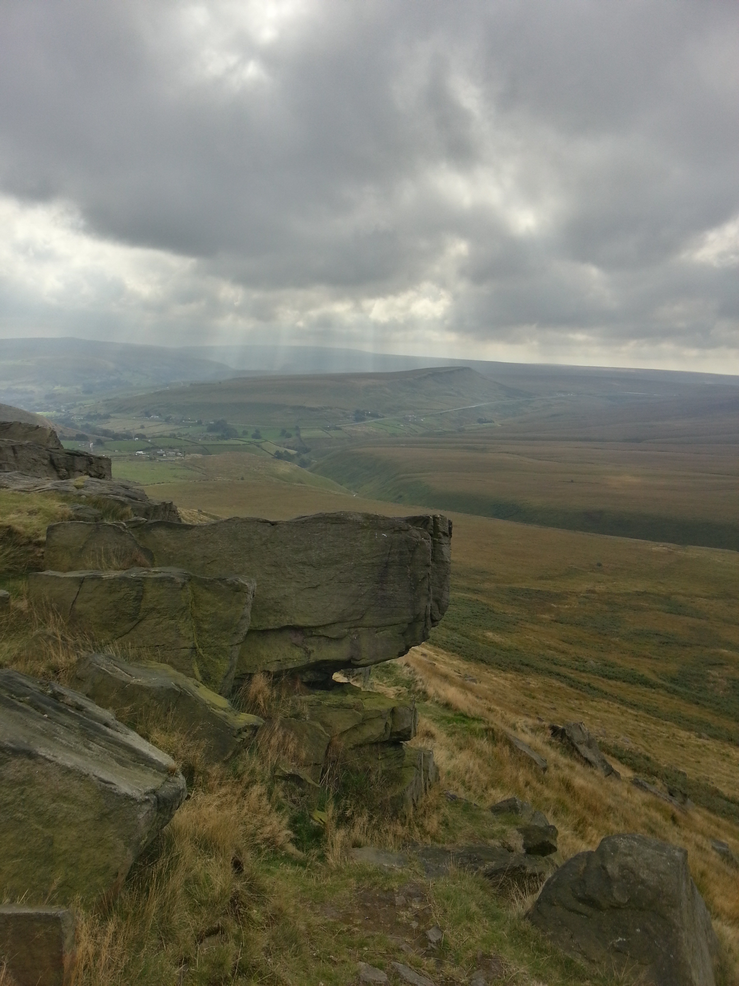
Marsden Moor National Trust – Meet The Ranger / Spot a Hare / Hike

Marsden Moor National Trust - Hare walk

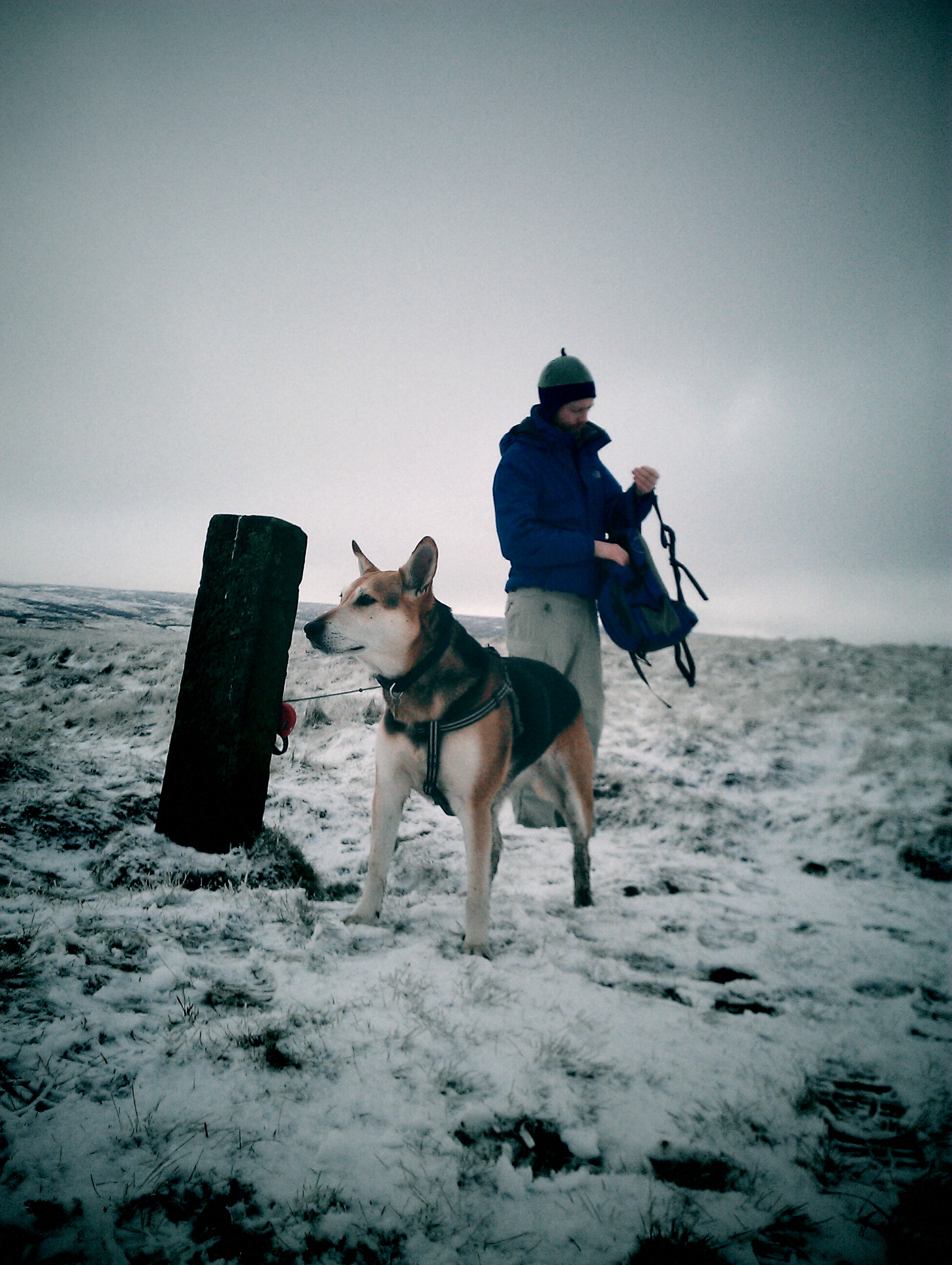
The morning started slowly, (a nice meal out and yes, maybe a little too much wine and beer the night before) but I was feeling surprisingly (very surprisingly) chipper as Brodie and I got togged up and jumped in the car to drive over to White Moss car park.

The little car park  is on the A635 which traverses the moors between Holmfirth and Greenfield and we were meeting up with whoever else had spotted the ‘Meet The Ranger / spot an elusive Mountain Hare’ walk announcement that had been posted on the Marsden Moor National Trust Facebook page. The clue would be in the word ‘elusive’..

read more >

The Secret Signs Of Marsden

new Colne Valley Circular Walk signs

I had a walk up above the Wessenden Valley and reservoirs at the weekend and noticed a new (to me) sign on some of the stiles. Bright yellow and clearly just applied with a stencil. And some of the posts that punctuated the wire-topped dry stone field boundaries also sported fresh yellow caps. Hmm. They were obviously marking out a route but I wasn’t sure which. The mystery (for me anyway) was solved via a Facebook discussion later that day. Turns out to be a refresh of the waymarkers for the Colne Valley Circular Walk.

read more >

Mooching above Meltham – a jaunt up West Nab

West Nab rocks Meltham Hike

West Nab above Wessenden Valley and Meltham

I didn’t have time for a big walk this weekend but I did want to check out a ‘peak’ which might form part of my half-baked Marsden 3 (or possibly 5) Peaks walk which I fancy doing at some point. I say ‘peak’ like ‘that’ because they’re aren’t really any peaks, in a mountainous sense, near to me. There are high enough spots to get a trig point and to command some great views – and to be really challenging in sometimes atrocious weather – but they’re not that Peaky.

read more >

March Hill and Cupwith Circular – a hike to the wild north

Views across to Pule Hill from Buckstones
march Hill and Cupwith hike route map
March Hill and Cupwith hike route – via viewranger App. I started bottom right on the map in Marsden, heading to March Hill across the moors and back around to Cupwith Hill and reservoir.

The Wild North is a bit tongue in cheek .. head south from Marsden, up Wessenden and over to Black Hill on a winter’s day and that’ll give any kind of wild a run for its money. But the moors area north of Marsden, to my mind, feels a bit wilder than the areas I normally walk across, to the south and west.  I fancied a bit of a change and wanted to have a mooch around March Hill and also to check out Cupwith a bit as it’s the planned home for a couple of wind turbines at some stage.. so I combined the two with a circular walk last Sunday.

8.3 miles over 5 hours or so, according to viewranger. At that pace you can see that some of the going was a bit slow, as Brodie and I picked our way across large grassy knolls and semi- bog in the area south of Cupwith Hill. But other than that it was a good day for a walk, with some excellent views across the upper valley and the sun finally came out in the last two hours.

read more >

Let the dice decide – a walk around Marsden

I had a couple of hours to spare this afternoon to get out for a bit of a walk with the hound.  Actually, I never have time to spare, too many projects in the go, maybe ‘allocated’ is a better phrase. And yes I did *some* chores, although not as many as I *should* have of course.

Anyway – with a couple of hours to hit the hills, I was wondering where to go. I considered one of the Walkers Are Welcome  walks I haven’t done yet or maybe heading straight up the hill to the Heritage Trail to get some views?

The subject of how / why I choose one walk over another has been front of mind for a couple of days, as I’m taking part in a long-range survey (over August). I can’t say anything much as have been asked not to by the organisers but suffice to say that the act of being observed must have impacted my behaviour!

And impacted it to the extent that the idea of using a dice to decide where to go came to mind. Not something I’ve ever done before. I’m not sure why it popped into my head other than I was musing “head out through back of the house and up the hills, or head out the front door and towards the canal and the hills? hmm” and to let a dice decide seemed an interesting idea. I read the Dice Man years ago (now that’s a teenage thought provoker of a book ..) and I know there’s also a school of travel (and an old TV programme?) that uses dice to decide where to go next. My ambitions were less, well, ambitious. Mooch about with the dog on a 2 hour journey, with any major intersection maneuvers decided by the roll of a dice. Or the tap of my phone as it happened – there’s an App for everything!

read more >
A Roman Road circular hike .. the oxymoronic post

Pack Horse Trail marker Marsden Moor

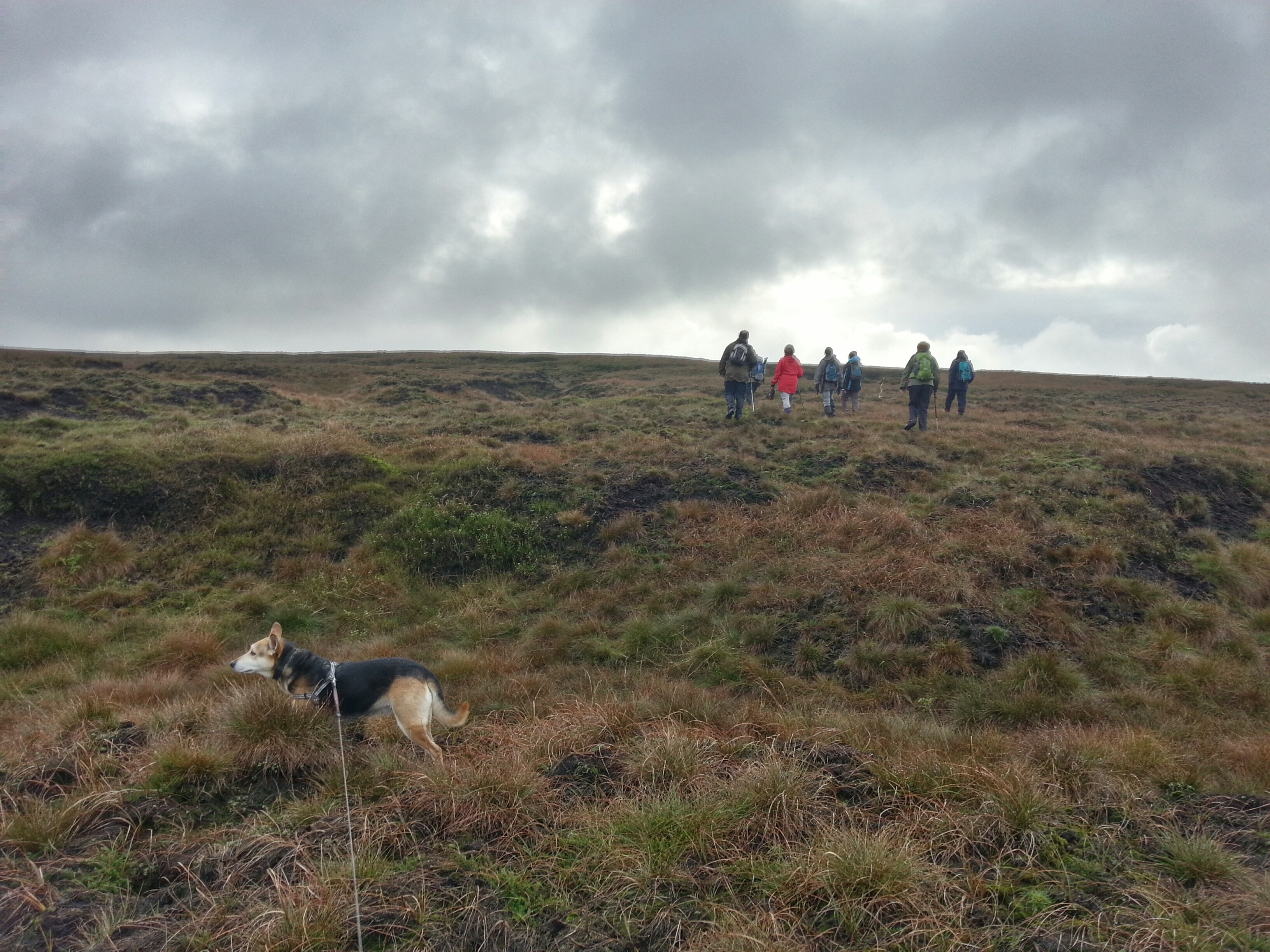
Roman roads are (mostly) ‘straight’ (that’s probably not true but let’s go with received wisdom) but I used Viewranger last week to create a circular trip on the moors around Marsden. Since I found out a roman road passed through my village, I’ve been intrigued to find out more and to walk as much of it as modern boundaries allow.

The hike route I ‘created’ navigates (on the southern, home leg) part of a Roman road that once ferried troops between York and Chester and takes in the remains of a fort at Castleshaw (two forts actually, they downsized to a smaller one in the later empty-nester years of the Empire).

read more >